Nagaland is a state in northeastern India. It is bordered by the state of Arunachal Pradesh to the north, Assam to the west, Manipur to the south and the Sagaing Region of Myanmar to the east. Its capital city is Kohima and its largest city is Dimapur. It has an area of 16,579 square kilometres with a population of 1,980,602 per the 2011 Census of India, making it one of India's smallest states.
Hospital Status
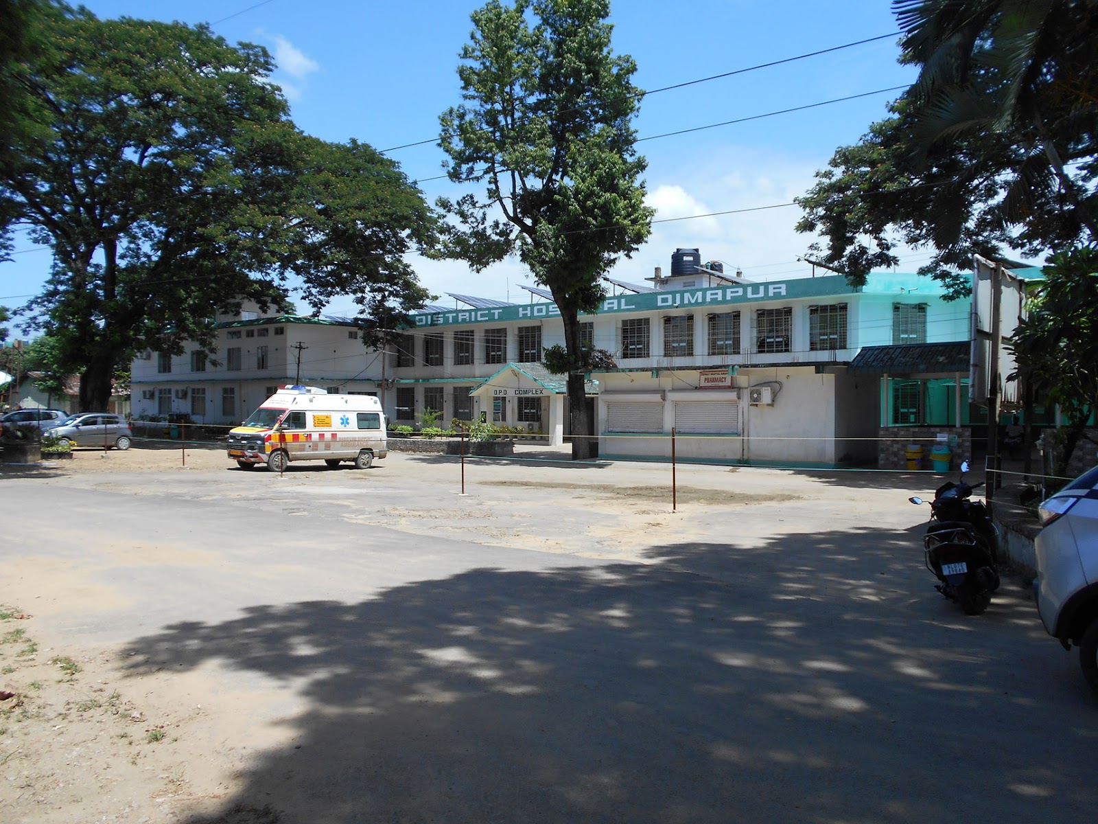
DH Dimapur, Dimapur
SITE
EQUIPMENT
TECHNOLOGY
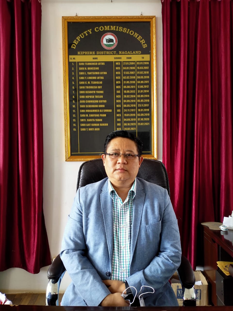
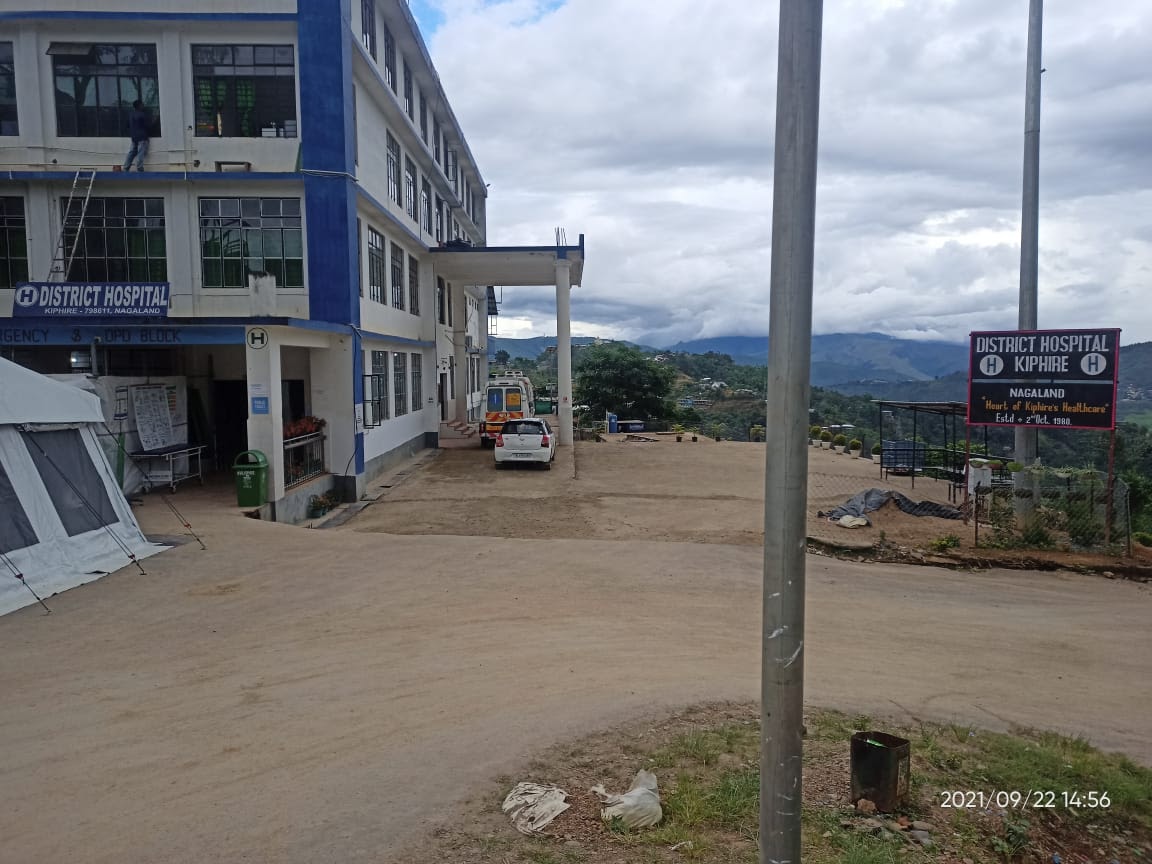
DH Kiphire, Kiphire
SITE
EQUIPMENT
TECHNOLOGY
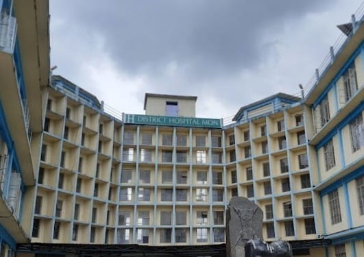
NHAK, Kohima, Kohima
SITE
EQUIPMENT
TECHNOLOGY
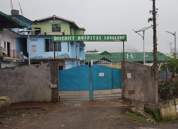
DH Longleng, Longleng
SITE
EQUIPMENT
TECHNOLOGY
IMDH, Mokokchung, Mokokchung
SITE
EQUIPMENT
TECHNOLOGY
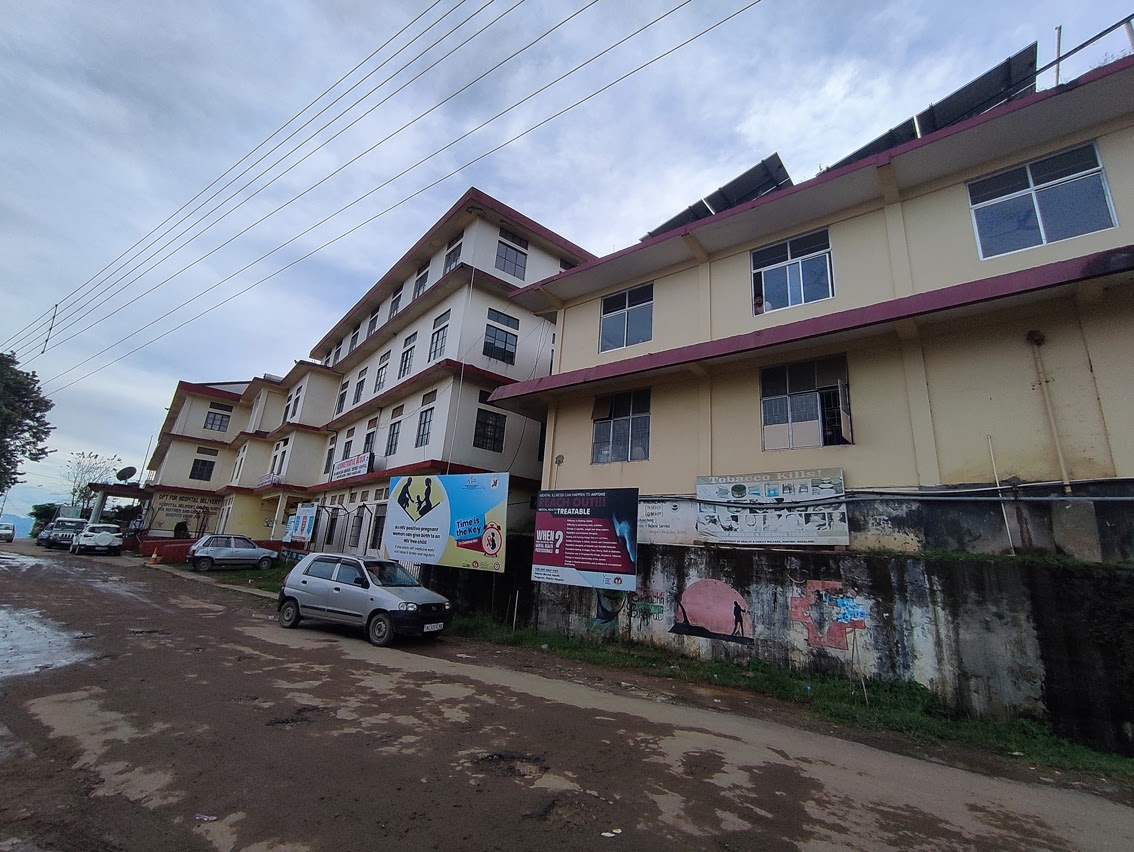
DH MON, Mon
SITE
EQUIPMENT
TECHNOLOGY
DH Peren, Peren
SITE
EQUIPMENT
TECHNOLOGY
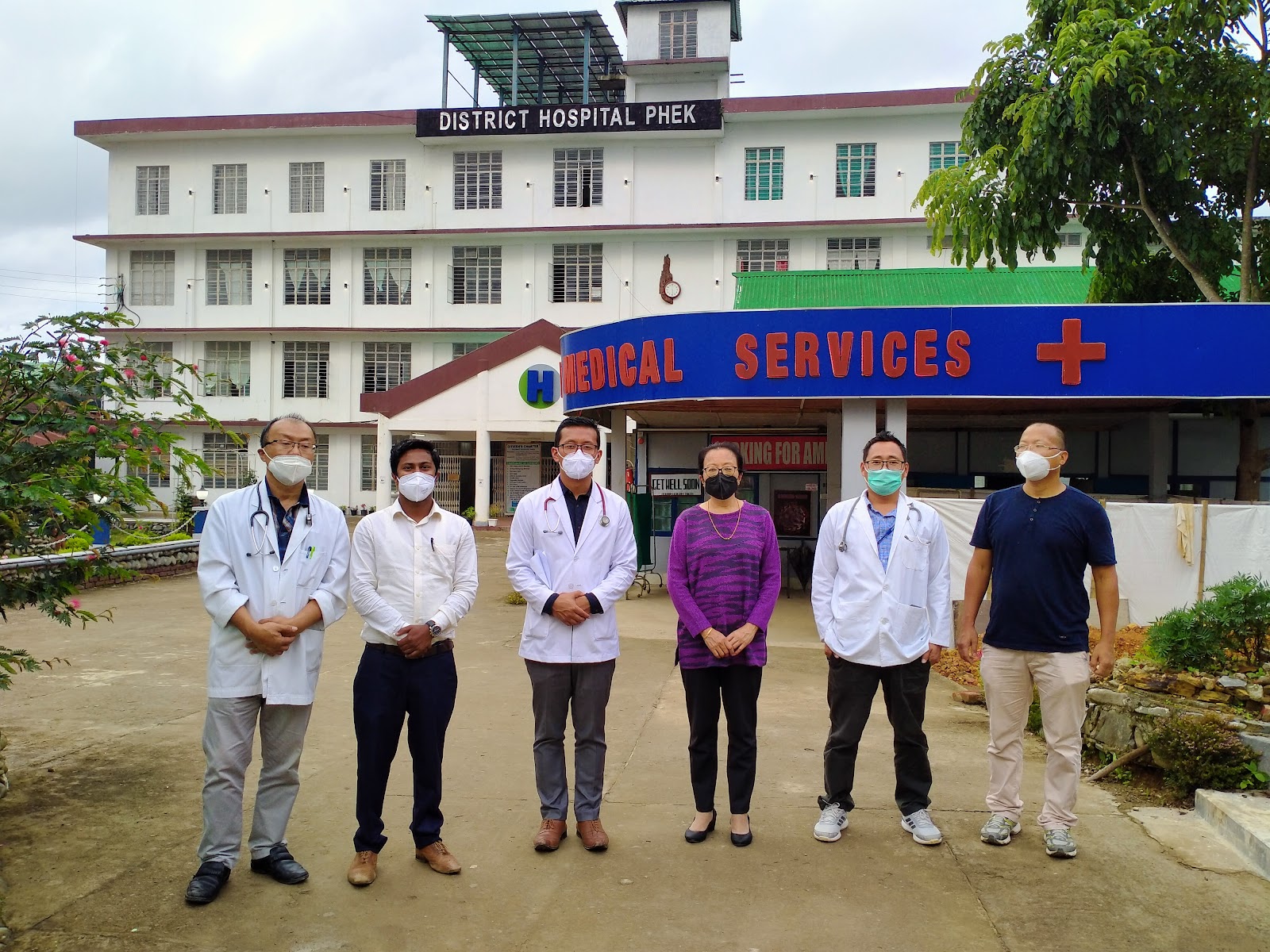
DH Phek, Phek
SITE
EQUIPMENT
TECHNOLOGY
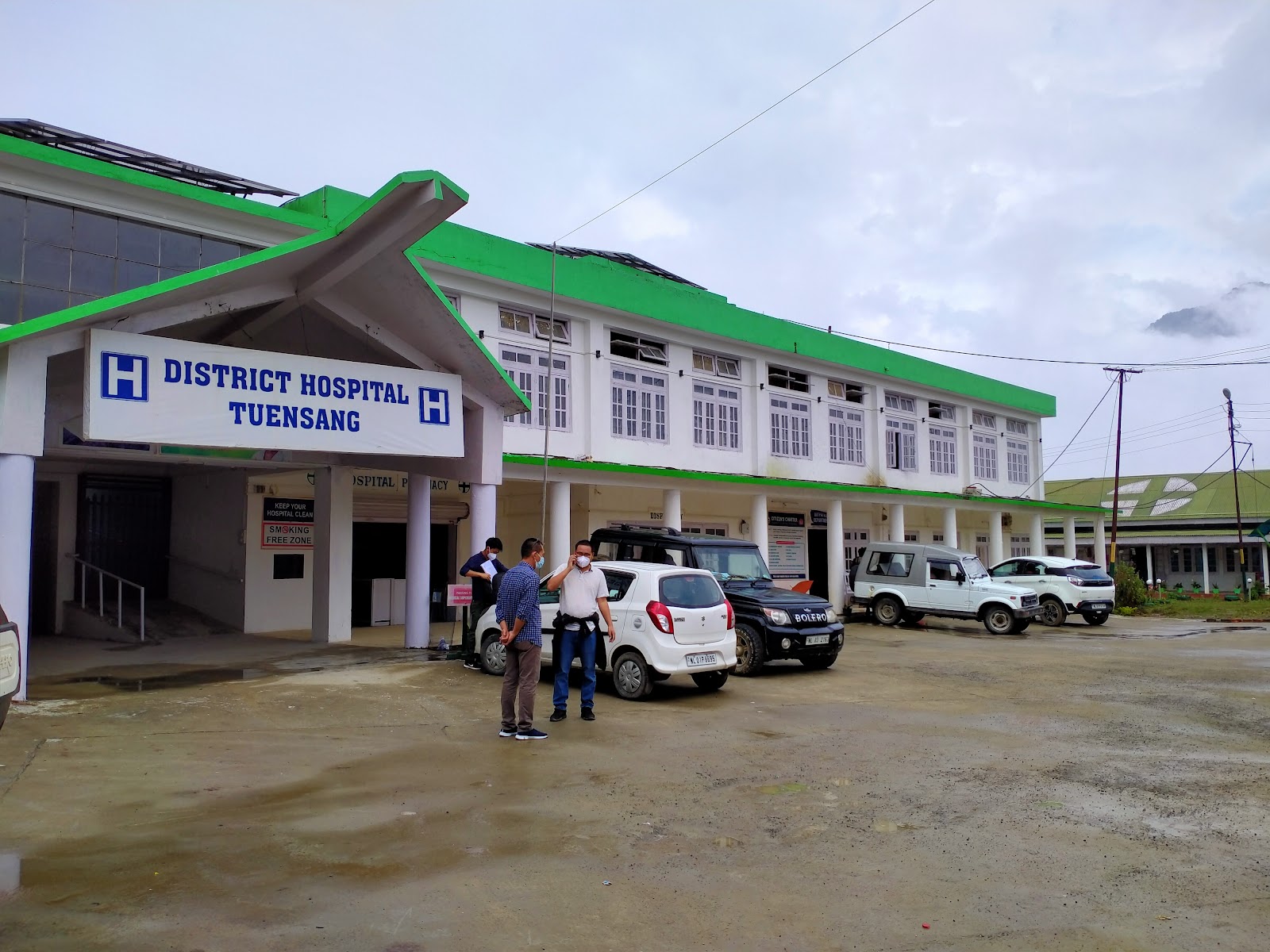
DH Tuensang, Tuensung
SITE
EQUIPMENT
TECHNOLOGY
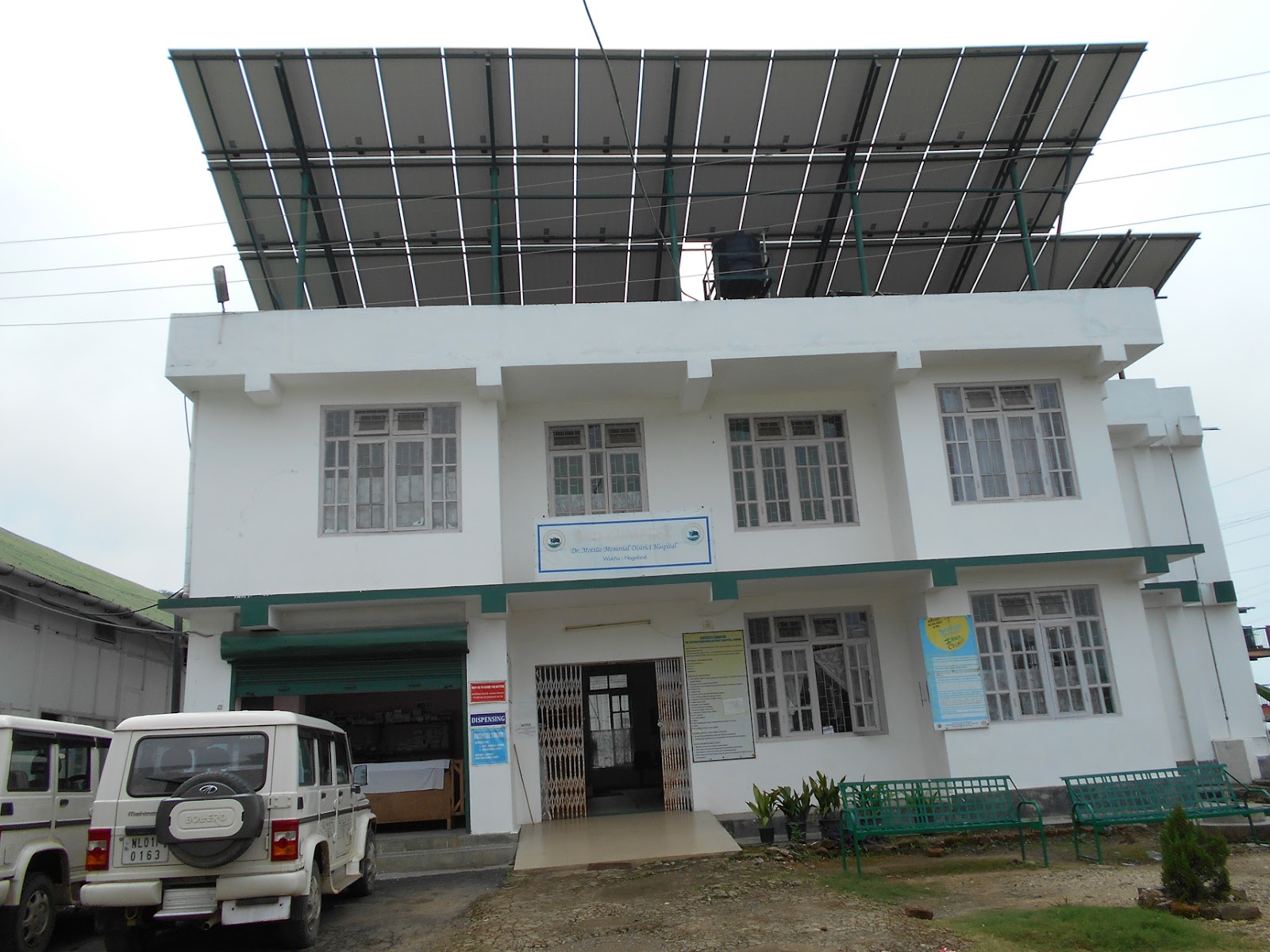
DMMDH, WOKHA, Wokha
SITE
EQUIPMENT
TECHNOLOGY
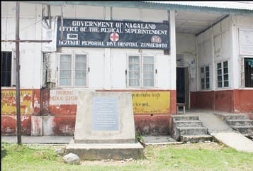
HMDH Zunheboto, Zunheboto
SITE
EQUIPMENT
TECHNOLOGY
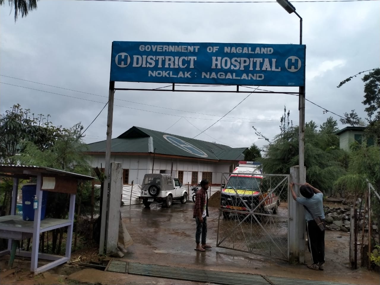
DH Noklak, Noklak
SITE
EQUIPMENT
TECHNOLOGY
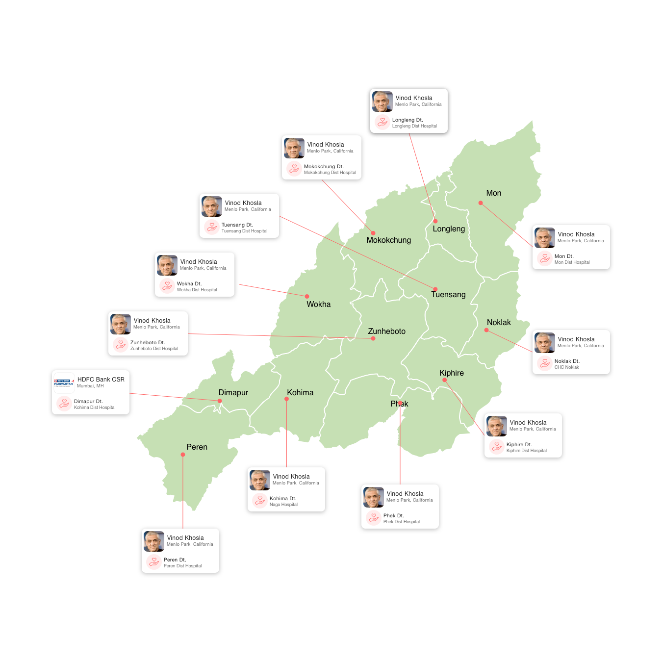
Project Management Unit
A Project Management Unit, PMU, is set up at the state level. The PMU is responsible for planning, administering, and supervising the implementation of the Project. The PMU consist of senior officials from the Government and the 10BedICU partners.
 Smti. S Tainiu Khiamniungan
Secretary, Health & Family Welfare
 Dr. Mereninla Senlem
Principal Director, Health & Family Welfare
 Dr. Sendimeren Aonok
Director of Medical Education, Health & Family Welfare
 Shri Srikanth Nadhamuni,
Managing Trustee, eGov
 Dr. Sudarshan
Founder of Vivekananda Girijana Kalyana Kendra and Karuna Trust
 Bisoya Loitongbam
Director, 10BedICU Project
10 Bed ICU's in Nagaland
Shri. Rajesh Sounda
District Collector
Donor
HDFC Bank CSR
Dimapur district was inaugurated as the eighth district of Nagaland in December, 1997, through a Government of Nagaland, Home Department notification no. GAB-5/29/78(pt) dated 02-12-1997. Earlier it was a sub-division under Kohima district. Besides being referred to as a gateway of Nagaland and Manipur, main commercial activities of the State, is centered around Dimapur, the district headquarter. Dimapur district in Nagaland is bounded by Kohima district on the south and east, Karbi Anglong district of Assam on the West, the Karbi Anglong and stretch of Golaghat District of Assam, in the west and the north. The only railhead and airport of the State is located in Dimapur, the district headquarter. The National Highway 29 connects the State capital kohima and also connects the neighbouring States of Manipur, Tripura and Mizoram. Dimapur city, the district headquarter is distinct in its character where all the different communities have congregated, portraying a mini India.
Shri. T Wati Aier, NCS
District Collector
Donor
Vinod Khosla
Menlo Park, California
Kiphire located in the eastern most part of the State bordering Myanmar, and having a total Area of 1255 sq. kms, Kiphire district is 254 km away from the Capital city Kohima. Wedged between Saramati, the highest mountain in the state and the Jingkhu mountains, Kiphire is located at an elevation of 896.42 meters above the mean sea level. On the whole, the climate is humid and hot during summer and cold during winter with winter temperature touching a low of 2.7 ° C and a high of 37.0 ° C during summer. Monsoon period extends from June to September and sometimes up to October. The average rain fall for the last three years is 876 mm. Kiphire is multi-ethnic in terms of its indigenous population. There are officially three recognized tribes â Sangtam, Yimchungrü, and Sümi. Besides these, there are several sub-tribes speaking various languages. As in the case with other Naga groups, each of these diverse ethnic groups is distinguished by their distinctive language. Owing to the many generations of co-habitation, all these ethnic and linguistic groups understand each othersâ language and the people often converse interchangeably. Though there are variations in the details of the various cultural practices and customs among the tribes of the district, on the whole, their society is organized along similar structures.

Shri. Gregory Thejawelie,NCS
District Collector
Donor
Vinod Khosla
Menlo Park, California
Kohima, is a hilly district of Indiaâs North Eastern State of Nagaland, sharing its borders with Assam State and Dimapur District in the West, Phek District in the East, Manipur State and Peren District in the South and Wokha District in the North. One of the oldest among the eleven districts of the state, Kohima is the first seat of modern administration as the Headquarters of Naga Hills District (then under Assam) with the appointment of G.H. Damant as Political Officer in 1879. When Nagaland became a full fledged state on 1st December, 1963, Kohima was christened as the capital of the state. Since then, parts of Kohima district have been carved out thrice â the first in 1973 when Phek District was created, then in 1998 Dimapur was carved out and declared as a separate district and it was in 2004 for the third time that Kohima district once again gave birth to one of the youngest districts in the state called Peren District. The name Kohima is so called because the British could not pronounce its original name âKEWHIRAâ which is the name of the village where Kohima town is located. Kohima village , also called âBara Bastiâ which is the second largest village in Asia forms the North-Eastern part of Kohima Urban area today
Shri. M.Shayung Phom
District Collector
Donor
Vinod Khosla
Menlo Park, California
Longleng District, the Home of the Phom Nagas, is the tenth district of Nagaland, formed as a result of bifurcation of Tuensang District. It is bounded by Mon District in the East, Mokokchung District in the west, Sivasagar District (Assam) in the North and Tuensang District in the south. Longleng District is headquartered at Longleng Town (about 1,100m above sea level). Longleng and Tamlu are the major towns of the district. Most of the inhabitants belong to the Phom tribes.
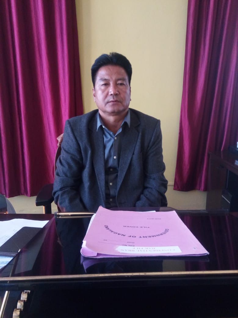
SHRI LIMAWABANG JAMIR
District Collector
Donor
Vinod Khosla
Menlo Park, California
Mokokchung is known as the 'intellectual and cultural capital' of Nagaland. It is a major district of Nagaland in India and its district headquarter is located in the main urban centre of the district also called Mokokchung town. It is mainly occupied by the Ao Naga tribe who consider it their home and and politically the most significant urban centre in northern Nagaland. It is bounded by the state of Assam to its north, Wokha district to its west, Tuensang and Longleng district to its east, and Zunheboto district to its south.

Shri.Thavaseelan K, IAS
District Collector
Donor
Vinod Khosla
Menlo Park, California
Mon district is the home of the Konyak Nagas. The Konyak are famous for their tattooned faces and bodies. It covers an area of 1786 Sq.km., is bounded on the North by Sibsagar District of Assam,on the South by Tuensang District of Nagaland and Myanmar (Burma), on the East by Myanmar (Burma) and on the West by Tuensang and Mokokchung Districts of Nagaland. On her Northeast lies the Tirap District of Arunachal Pradesh. The altitude of Mon district headquarters is 897.64 meters above sea level. The District, with the exception of the foothills, is hilly with steep slopes. Low-lying areas with undulating hills characterize the foothills.The Mon District has a fairly moderate climate. Days are warm and nights are cool. Rainy season sets in the month of May and lasts till October. From November to April, the District has dry weather with relatively cool nights and bright and sunny days. The average relative humidity is 76 per cent and the average temperature is 24.4 degrees Celsius. In the higher altitude, summers are pleasantly warm while winter is quite cold. The lower altitude especially those adjoining the plains of Assam experience hot summers but pleasant winters.
Shri. Sentiwapang Aier
District Collector
Donor
Vinod Khosla
Menlo Park, California
Peren is the eleventh and the newest district of Nagaland, formed as a result of bifurcation of Kohima District. It is bounded by Assam State and Dimapur District in the west and north western part respectively, as well as Kohima District and Manipur State in the east and south part respectively. Peren District is headquartered at Peren (about 1,445m above sea level). Peren, Jalukie and Tening are the major towns of the district. Most of the inhabitants belong to the Zeliang and Kuki tribes.The land is fertile for Agro base production and the people of Peren district are mainly agrarian (80%) by occupation and paddy is the livelihood of the populace, and Jalukie Valley known as the Rice Bowl of Nagaland. Besides paddy, of late the people have taken up crops like Pineapple, yam, beans, ginger, Banana, and other Horticulture products,which supplement the crops. The popular Naga Kingâs Chilies is a translation of the words Chaibe Rachi meaning Chaibe = Kingâs + Rachi = chilly, both the name and the Chilies originated from Peren district.The important Festivals of the Zeliang and Kuki are Meleinyi/ Hega, (Zeliang) and Minkut (Kuki) is celebrated in February- March every year, where as Langsemnyi /Chaga Gadi are celebrated in the month of October.It has Tropical Type to sub tropical type to temperate types of climates moderate climate.

Shri. Razouvolie Dozo
District Collector
Donor
Vinod Khosla
Menlo Park, California
Phek is a District which lies on the South â Eastern part of Nagaland, bounded by Mynmar in the east, Zunaboto and Kiphire in the North, Manipur in the South and kohima in the West. It has an area of 2,026 square kilometer (Approximately) and a population of 163,418 of which male and female were 83,743 and 79,675 respectively in 2011census. It is situated at a distance of 145 km from state capital of kohima to the District Headquareter with an altitude of 1524 meters. The district HQ town of Phek lies at the lowest altitude of the district at 1,524m above sea level, with the village of Pfutsero Town at the highest point of 2,136m above sea level.
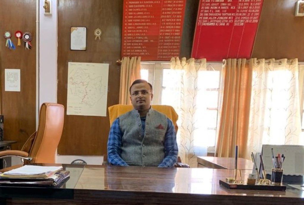
Shri. Kumar Ramnikant, IAS
District Collector
Donor
Vinod Khosla
Menlo Park, California
Tuensang is located in the eastern part of Nagaland. It is bounded by Mon and Longleng Districts in the north and north east respectively, Mokokchung in the northwest, Zunheboto in the southwest, Kiphire in the south, and Myanmar in the east. In the early seventies, at the instance of the Geographical Survey of India in collaboration with the Myanmar Government, 9(nine) RCC pillars touching Tuensang were erected all along the International Border demarcating India and Myanmar. The whole area of the district is 1,728 sq.km (Approximately)
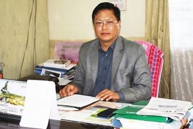
Shri. Orenthung Lotha
District Collector
Donor
Vinod Khosla
Menlo Park, California
Wokha literally means Census in Lotha. It was a place where Lothas counted heads before spreading out into the villages during their waves of migration. Wokha District is the Home of Lothas having a total geographical area of 1628 Sq. Km, accounting 9.82% of the total geographical area of the State, Wokha District is situated in the mid Western part of the Nagaland State. The Wokha District is situated in the mid western part of Nagaland State, adjacent to Sibsagar plain of the Assam State. It is bounded by Mokokchung District in the North, Kohima District in the South. Zunheboto District in the East and the State of the Assam in the West. The Wokha District is situated at a latitude of 26° â8â North and a longitude of 94° â18â East.
Shri. Peter LIchamo
District Collector
Donor
Vinod Khosla
Menlo Park, California
Zunheboto District is situated in the heart of Nagaland bounded by Mokokchung District in the North, Phek District in the South, Tensuang and Kiphire district in the east and Kohima/Wokha district in the West. The whole area is mountainous covered with dense forest with a total area of 1255 Sq.Km. As per 2011 Census the district is having total population of1,14,014. The District Headquarter is 150 Kms away from the State Capital, Kohima.
Shri Hiazu Meru, NCS
District Collector
Donor
Vinod Khosla
Menlo Park, California
Noklak District is a Tribal District inhabited by recognized Naga Tribes, the Khiamniungan tribe and Yimchunger tribe. Khiamniungan tribe constitute the majority of the population in the District with Yimchunger tribe inhabiting Thonoknyu Sub- Division adjoining Noklak District. The population of the District as per the census 2011 stands at 55,434, the population density of which is 51/km2 while the sex ratio (921 females per 1000 males) is lower than the state average of 931. The rural population constitutes more than 86 % and only 14% urban. The search for, health, and education, livelihood opportunities in the urban have led to steady rural-urban migration in the recent years